Verification
Welcome to Tantek 4D’s Geospatial Surveying, where precision, innovation, and accuracy converge to revolutionise the way we navigate and understand our world. Our cutting-edge geospatial surveying services offer a gateway to a new dimension of spatial intelligence. Tantek 4D is your trusted partner in harnessing the power of geospatial data.
Advanced Technology
In an era where location-based insights are increasingly critical, our team at Tantek 4Ds is committed to delivering top-tier geospatial solutions that transcend industry boundaries. With a relentless pursuit of excellence, we leverage state-of-the-art technology and industry expertise to provide you with a comprehensive suite of geospatial services that empower your decision-making processes.
Unmatched Diversity
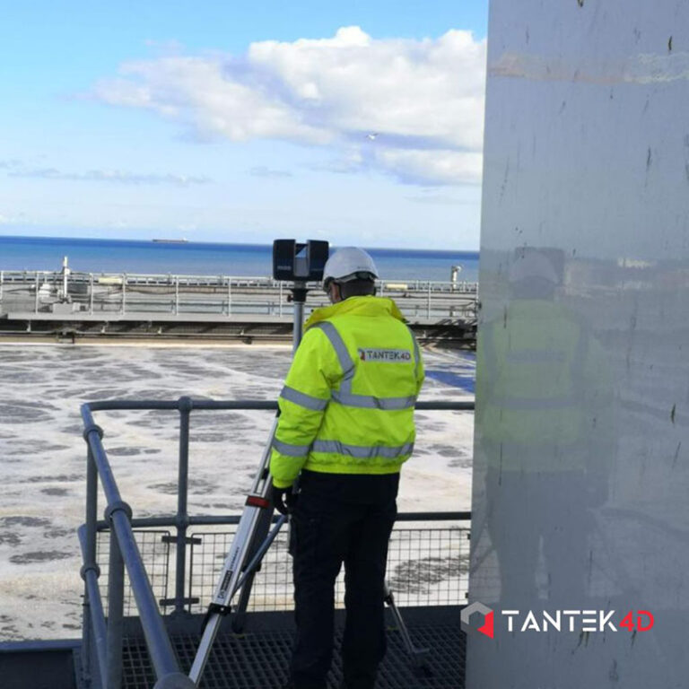
From precision mapping and 3D Laser Scanning to aerial and land surveys, we offer a diverse range of services designed to meet your unique needs. Welcome to a world where geography meets innovation.
Services Include:
- Drone Surveys
- 2D/3D Topographical Surveys
- GPR Surveys
- Measured Building Surveys
- Volumetric Surveys
- Setting Out
- Station Control
- BIM to Field
- Install Verification